
Ashland, ME
- Elevation
- 698 ft
- General Quality Overall rating out of 100
Highlights
What stands out in Ashland
Explore
More places like Ashland
About Ashland
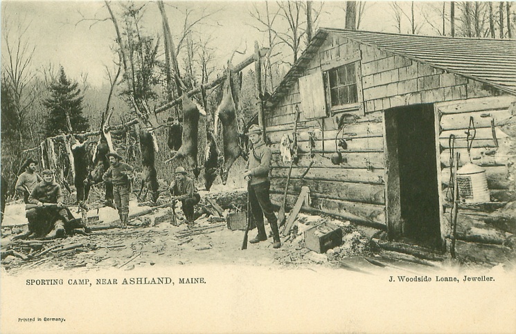
Set along the Aroostook River in northern Maine, Ashland is a quiet, close-knit community of about 1,200 people. Most local activity centers around the main village crossroads where Routes 11, 163, and 227 meet. Settled in the 1830s during the early timber boom, the town has held onto its working-forest heritage while offering a peaceful, slow-paced lifestyle.

Known as a gateway to the North Woods, Ashland is surrounded by vast timberlands and waterways that draw hunters, anglers, and snowmobilers year-round. The village core holds the local schools, library, town office, and essential services, while residential properties stretch out into the surrounding woods. When you need larger stores, specialized healthcare, or regional amenities, Presque Isle is an easy thirty-minute drive east along Route 163.
Top Rating Signals
Highest current ratings for this town.
Loading town details...