
Avondale, AZ

- Elevation
- 973 ft
- General Quality Overall rating out of 100
Highlights
What stands out in Avondale
Explore
More places like Avondale
About Avondale
Avondale has grown into one of the West Valley's most dynamic suburbs, recently crossing the 100,000-resident mark while keeping an easygoing, community-oriented feel. The city is neatly divided by Interstate 10, giving newcomers a variety of distinct areas to choose from. North of the freeway, you will find bustling shopping centers, top-tier medical facilities, and modern entertainment. Heading south across the Agua Fria corridor leads into historic neighborhoods and vibrant master-planned communities that reach toward the base of the Estrella Mountains.

Old Town Avondale along Western Avenue gives the city a rich sense of history that can be hard to find in newer desert suburbs. Originally founded in the late 1800s as a stagecoach stop and farming settlement, the neighborhood remains deeply rooted in local Hispanic heritage and agricultural traditions. Today, Western Avenue is a welcoming strip filled with authentic Mexican restaurants, local bakeries, and mom-and-pop storefronts. The area fills with energy during signature events like the annual Avondale Fiesta, where residents gather for street food, live music, and cultural celebrations.
Everyday convenience and career opportunities are centered along McDowell Road and Interstate 10. The city's Health-Tech Corridor provides an expanding hub for medical practices and specialized care, creating solid local jobs and cutting down on commute times. Right near City Hall, a pedestrian-friendly district called The BLVD is taking shape as a contemporary gathering place. It brings together new restaurants, apartments, hotels, and the Randall McDaniel Sports Complex, giving residents a lively spot to grab dinner or catch a weekend game.

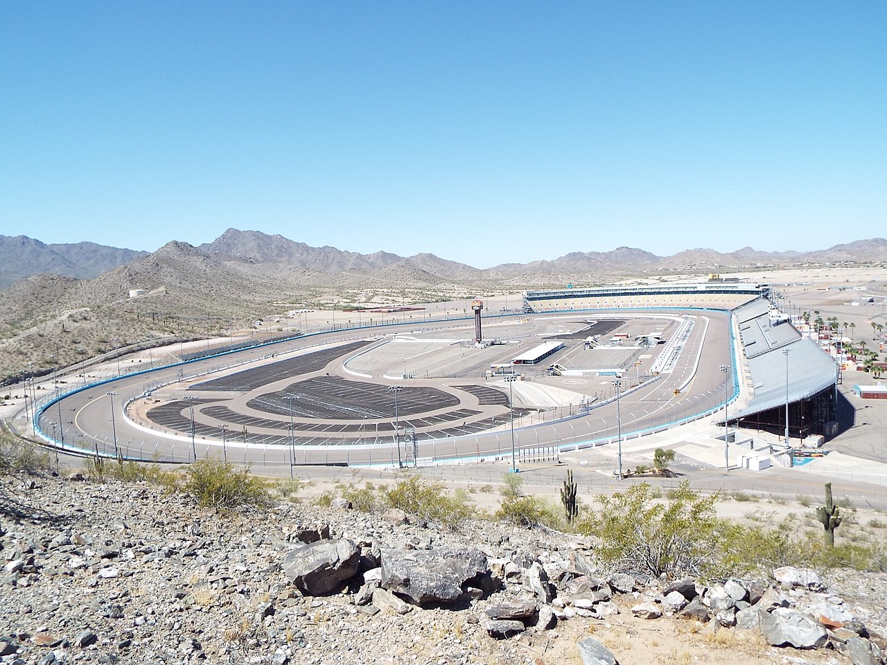
Outdoor recreation and entertainment are easy to find all across town. In the south near the Gila River, Phoenix Raceway puts Avondale in the national spotlight with high-energy NASCAR race weekends each spring and fall. Closer to home, families make great use of extensive green spaces like Alamar Park, Festival Fields, and the city's popular Aquatic Center. For a quieter afternoon, the paved paths through the Crystal Gardens lakes provide more than four miles of walking trails where you can spot over 150 different bird species.
Top Rating Signals
Highest current ratings for this town.
Loading town details...