
Blanchardville, WI
- Elevation
- 820 ft
- General Quality Overall rating out of 100
Highlights
What stands out in Blanchardville
Explore
More places like Blanchardville
About Blanchardville
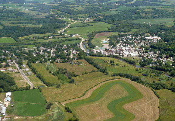
Located about 30 miles southwest of Madison, Blanchardville sits right along the East Branch of the Pecatonica River where Lafayette and Iowa counties meet. It is a quiet, scenic community with deep roots in Wisconsin dairy farming and historic mill-town charm. The surrounding rolling hills give it a peaceful, tucked-away feel, while the straightforward drive to the city keeps daily commutes and weekend outings manageable.

Daily activity revolves around the river and McKellar Park, a favorite gathering spot featuring a community pool, walking paths, campsites, and easy kayak access. Downtown, Main Street offers a welcoming mix of local diners, coffee spots, and neighborhood essentials. Between casual paddling trips, trail rides on the Tri-County ATV Trail, and community traditions like park concerts and the annual Homecoming festival, Blanchardville provides an easygoing rhythm that quickly makes newcomers feel at home.
Top Rating Signals
Highest current ratings for this town.
Loading town details...