
Bridgewater, CT
- Elevation
- 653 ft
- General Quality Overall rating out of 100
Highlights
What stands out in Bridgewater
Explore
More places like Bridgewater
About Bridgewater
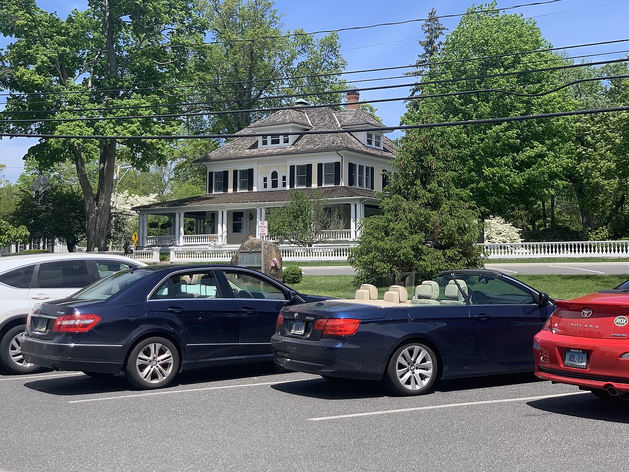
Tucked into southern Litchfield County, Bridgewater is one of Connecticut's quietest and most scenic small towns. Daily life centers around the historic Town Green, where handsome colonial homes, local churches, the Burnham Library, and the town hall line quiet streets. Originally part of neighboring New Milford until the early 1800s, the village has carefully held onto its historic architecture and peaceful, unspoiled character.

Beyond the center, the landscape opens into rolling farmland, quiet back roads, and wooded hills stretching toward Lake Lillinonah. Residents enjoy easy access to boating, hiking, and open space, while Route 67 provides a quick link to shopping and dining in neighboring towns. For anyone looking for a slow-paced countryside lifestyle with a strong sense of community, Bridgewater is an inviting place to settle down.
Top Rating Signals
Highest current ratings for this town.
Loading town details...