
Chandler, AZ
- Elevation
- 1,214 ft
- General Quality Overall rating out of 100
Highlights
What stands out in Chandler
Explore
More places like Chandler
About Chandler
Chandler manages to balance sunny suburban comfort with plenty of outdoor green space. Miles of paved walking and biking paths trace the city's historic irrigation routes, including the popular Paseo Trail that winds past quiet neighborhoods. Over at Veterans Oasis Park, you can fish in the lake, hike peaceful desert trails, or take the kids to the environmental education center. Dr. Alexander Chandler founded the town back in 1912 as an agricultural community known for citrus groves, cotton, and quirky ostrich farms. Today, those vintage canals and citrus-lined roots give the modern city a distinctive layout with shaded parks and trails woven right through residential areas.

Over the past few decades, Chandler evolved into one of the premier tech capitals of the American Southwest. Major semiconductor and technology employers like Intel, Microchip, and Northrop Grumman maintain massive campuses here, earning the city a central spot in Arizona's booming Silicon Desert. Alongside the strong job market, you will find top-rated schools in the Chandler Unified School District and well-kept master-planned neighborhoods. If you want a quick look at the city's early farming days, you can still tour vintage tractors and historic homestead buildings at Tumbleweed Park.

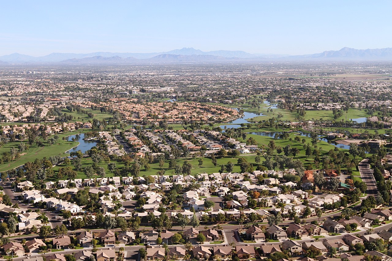
Getting around town is easy thanks to the Loop 101 and Loop 202 freeways, which connect Chandler directly to Phoenix, Tempe, Scottsdale, and Sky Harbor Airport. Tech headquarters sit primarily along the Price Road corridor on the west side, while retail centers like the Chandler Fashion Center offer plenty of shopping and dining. Because Chandler covers roughly 65 square miles, your daily routine will depend on where you settle down. North Chandler puts you right next to freeway interchanges and shopping hubs, while south Chandler features newer lake communities like Ocotillo, known for its golf courses and waterfront homes.

Downtown Chandler gives the city a lively, walkable gathering place full of character. Brick buildings and colonnades surround historic AJ Chandler Park, where you can grab craft beer at local breweries, eat brunch on shaded patios, or browse the weekly farmers market. The Chandler Center for the Arts and the Chandler Museum host performances and community events throughout the year. For quick errands and local commutes, the city offers an on-demand rideshare service called Chandler Flex. Downtown also hosts Chandler's favorite holiday tradition, the giant Tumbleweed Tree, which locals have built and lit up with holiday lights every December since 1957.
Top Rating Signals
Highest current ratings for this town.
Loading town details...