
Copalis Beach, WA
- Elevation
- 21 ft
- General Quality Overall rating out of 100
Highlights
What stands out in Copalis Beach
Explore
More places like Copalis Beach
About Copalis Beach
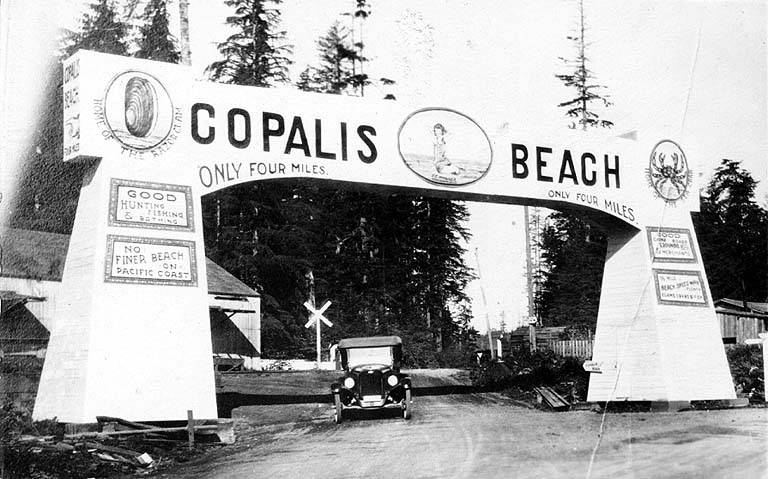
Copalis Beach is a small, easygoing community tucked along Washington's rugged Pacific coast on Highway 109. Named after the area's original Quinault-speaking inhabitants, the town is surrounded by rolling sand dunes, thick coastal spruce, and the scenic mouth of the Copalis River. It is a quiet haven where the rhythm of the day is guided by ocean tides, wide sandy shores, and big open skies.

Life here revolves around the outdoors, particularly during the popular razor-clam digging tides that bring visitors and neighbors together on the beach. Nearby Griffiths-Priday State Park offers peaceful trails through dunes and wetlands where freshwater meets the crashing surf. Aviation fans also love the unique local airstrip, one of the few places in the country where small airplanes legally land right on the ocean sand. It is a welcoming spot for anyone drawn to fresh sea air and a relaxed Pacific Northwest lifestyle.
Top Rating Signals
Highest current ratings for this town.
Loading town details...