Darfur, MN
- Elevation
- 1,163 ft USGS GNIS community points and 3DEP elevation · GNIS 2026-07-06; USGS 3DEP sampled 2026-07-23
- General Quality Overall rating out of 100
Highlights
What stands out in Darfur
Explore
More places like Darfur
About Darfur
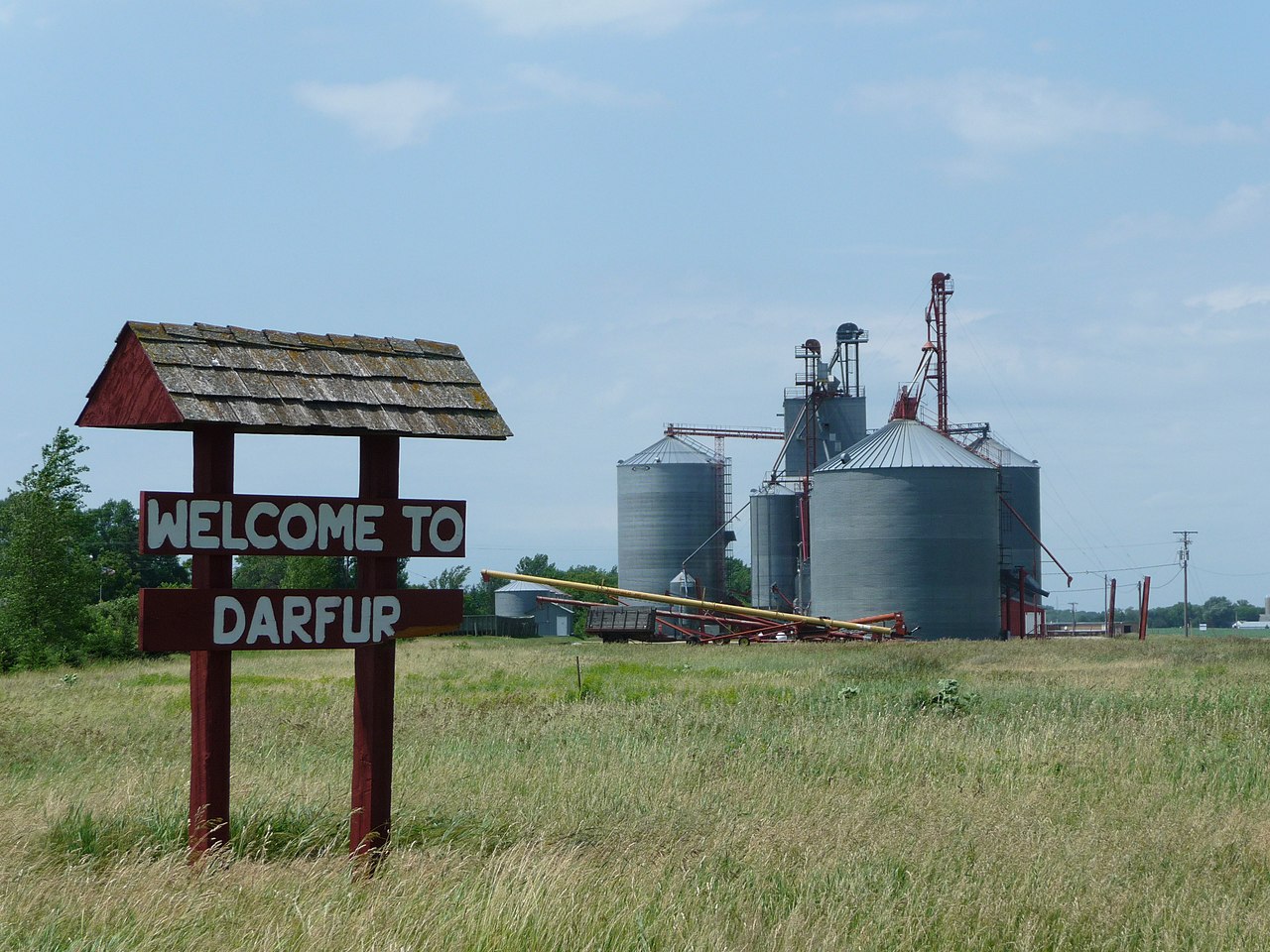
Darfur started out around the turn of the twentieth century as a railroad stop serving local farming families across Watonwan County. Freight trains eventually gave way to daily traffic along Highway 30, yet the town kept its easygoing agricultural roots. Today, it is a quiet, tight-knit rural community surrounded by open southern Minnesota farmland, offering a peaceful pace of life for anyone looking to settle well away from the bustle of larger cities.
Top Rating Signals
Highest current ratings for this town.
Loading town details...
Beyond Darfur, MN
Is this the right place for you?
Every rating on this page comes from the same model behind our search. Tell us what matters to you and we’ll rank every community we cover around your priorities, and show you where Darfur, MN lands.