
Dunbar, PA
- Elevation
- 1,042 ft
- General Quality Overall rating out of 100
Highlights
What stands out in Dunbar
Explore
More places like Dunbar
About Dunbar
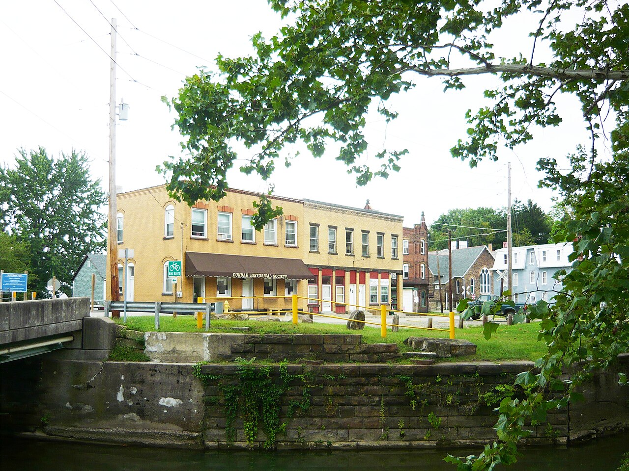
Dunbar is a small, quiet borough of about a thousand people sitting five miles south of Connellsville in Fayette County. Set in a wooded valley of the Laurel Highlands, the town follows the curves of Dunbar Creek. Life here is low-key and straightforward, with affordable homes on quiet streets and a close-knit neighborhood feel surrounded by green hills.

Reminders of the area's industrial past are still part of the scenery, from older brick churches to historic stone coke ovens preserved near the center of town. For outdoor time, residents can hop right onto the Sheepskin Trail, a crushed-limestone path that runs along the creek. It connects directly to the Great Allegheny Passage near Connellsville, giving locals an easy route for biking, running, or a relaxed weekend walk through the woods.
Top Rating Signals
Highest current ratings for this town.
Loading town details...