
El Dorado Hills, CA

- Elevation
- 770 ft
- General Quality Overall rating out of 100
Highlights
What stands out in El Dorado Hills
Explore
More places like El Dorado Hills
About El Dorado Hills
With around 50,000 residents living in the Sierra foothills east of Sacramento, El Dorado Hills offers the amenities and scale of a city while remaining an unincorporated community in El Dorado County. Local parks, recreation programs, and several municipal services are managed by a dedicated Community Services District, while the county handles broader regional administration. While local discussions about official city incorporation pop up from time to time, the current setup has kept neighborhoods running smoothly for decades. The entire area is organized into distinct residential sections known locally as villages.

The master-planned layout dates back to the 1960s and was designed to work with the natural foothill terrain. Oak-studded ridges and rolling hills give different neighborhoods their own scenic character, with many homes offering views of open space or Folsom Lake. Navigating the area is straightforward, as main roads like El Dorado Hills Boulevard and Silva Valley Parkway connect the residential villages directly to Highway 50, local business parks, and the broader Sacramento metro area.
Neighborhood upkeep and consistency are major draws for people moving here. Most villages have specific design standards and property guidelines, which the Community Services District helps enforce to protect curb appeal and neighborhood character. The district also manages more than 500 acres of local parks, sports fields, and walking trails woven throughout the hills. In addition, the El Dorado Hills Fire Department operates five staffed stations across the area, giving residents reliable emergency coverage and peace of mind.

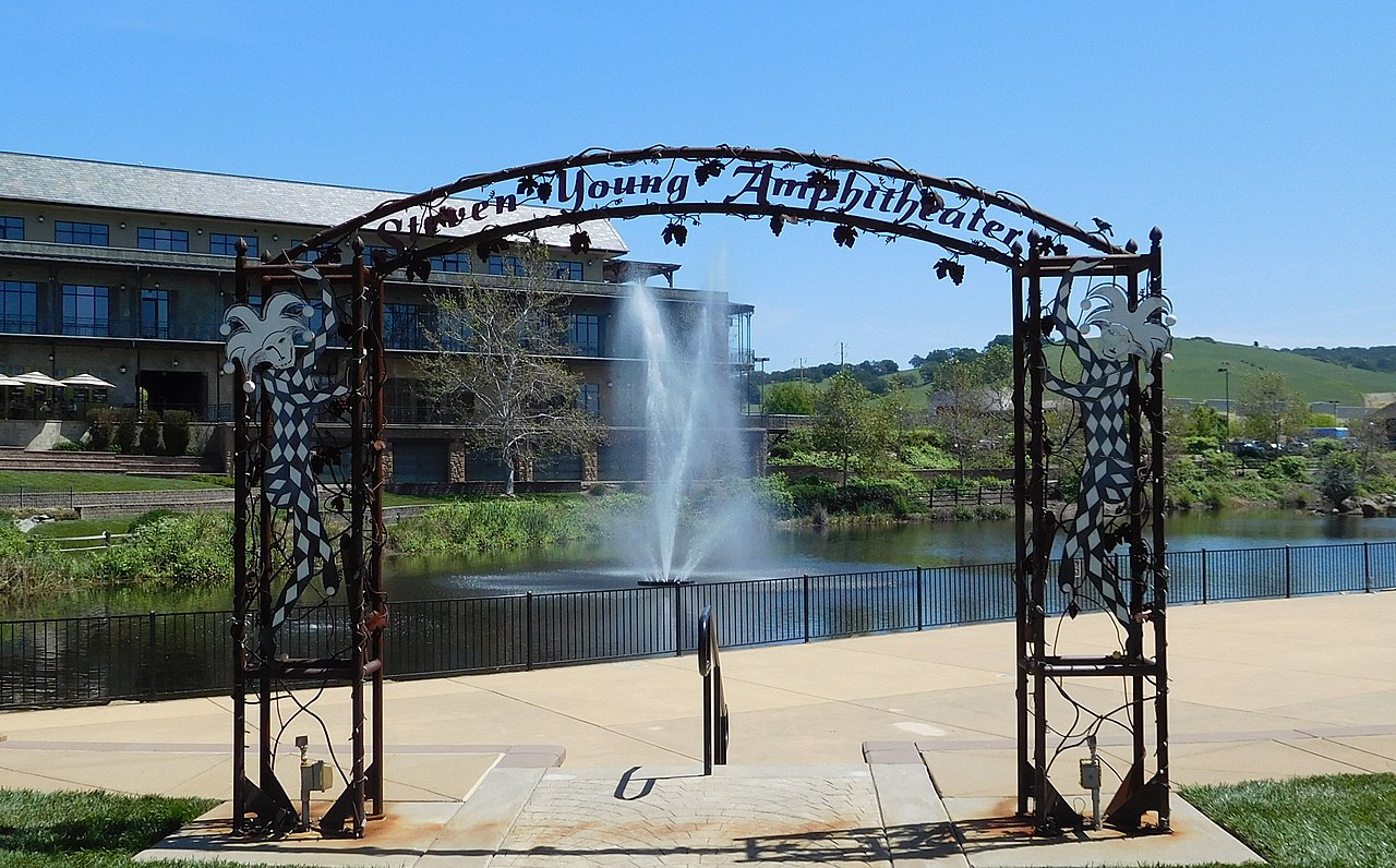
Town Center serves as the central hub for shopping, dining, and local entertainment, featuring restaurants, boutiques, a movie theater, and a waterfront promenade. It regularly hosts weekend farmers markets, outdoor concerts, and seasonal community events that bring neighbors together. Nearby, the 40-acre Community Park provides sports fields, a pool, tennis courts, and a dog park along New York Creek. Combined with easy access to boating and trails at Folsom Lake, the area offers plenty of ways to enjoy everyday foothill living.
Top Rating Signals
Highest current ratings for this town.
Loading town details...