
Encinitas, CA

- Elevation
- 81 ft
- General Quality Overall rating out of 100
Highlights
What stands out in Encinitas
Explore
More places like Encinitas
About Encinitas
Encinitas is made up of five distinct coastal and inland neighborhoods that merged in the 1980s, each keeping its own unique character. Along the shore, funky Leucadia, historic Downtown Encinitas, and relaxed Cardiff-by-the-Sea line the Pacific coast. Head east over the hills and you will find the family-friendly subdivisions of New Encinitas alongside the quiet, horse-friendly properties of Olivenhain. Bordered by protected coastal lagoons to the north and south, the area enjoys six miles of sandstone bluffs and ocean views that set the rhythm of everyday life.

Beach culture is central here, with different stretches of coastline tailored to every routine. Moonlight Beach is the main gathering spot for families, offering volleyball courts, grassy picnic areas, fire pits, and convenient facilities. Down the coast, Swami’s Beach draws surfers from around the globe, tucked below the cliffside meditation gardens of the Self-Realization Fellowship. Inland, the San Diego Botanic Garden covers 37 lush acres with walking paths celebrating the city’s heritage as a historic flower-growing capital. Healthcare, education, and wellness businesses form a solid local economic base alongside a flourishing retail and dining scene.

Many residents commute to biotech, technology, and research hubs across the greater San Diego region, making transportation an important part of daily life. Interstate 5 provides a direct route north and south, while the downtown COASTER station lets commuters skip highway traffic and take the scenic train into downtown San Diego. Closer to home, Coast Highway 101 serves as the lively spine of the oceanfront communities, packed with bustling coffee shops, surf boutiques, yoga studios, and casual sidewalk cafes. The coastal rail line runs parallel to the shore, with convenient designated crossings connecting neighborhood streets directly to the sand.
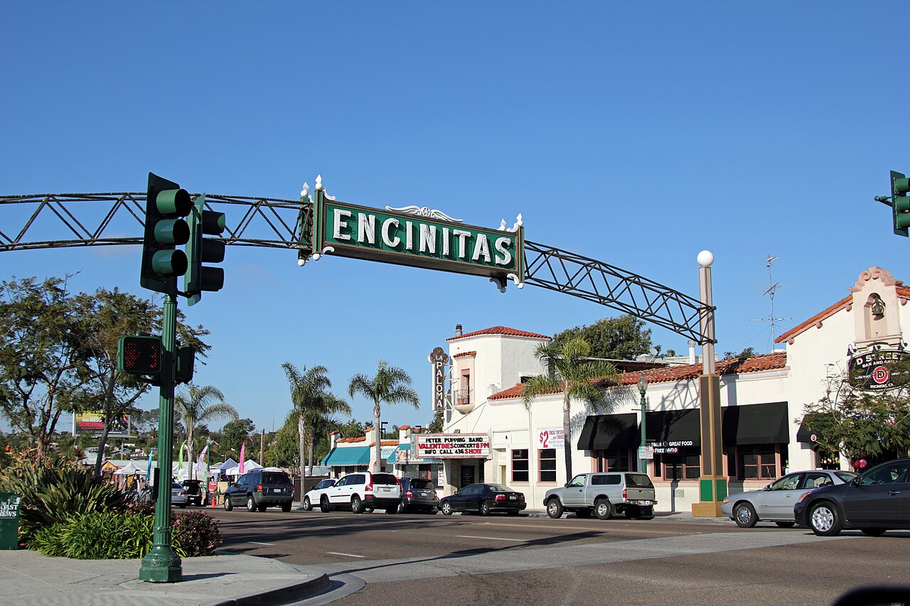
Getting around on foot or by bike is a major part of living here. Pedestrian tunnels, lighted crosswalks, and coastal pathways make heading down to the water simple and safe. Cultural spots like the Pacific View Arts Center host rotating gallery exhibits, community classes, and local events throughout the year. With its blend of distinct neighborhood personalities, easy coastal access, and laid-back Southern California energy, Encinitas offers a welcoming environment for newcomers looking to settle near the coast.
Top Rating Signals
Highest current ratings for this town.
Loading town details...