
Gila Bend, AZ
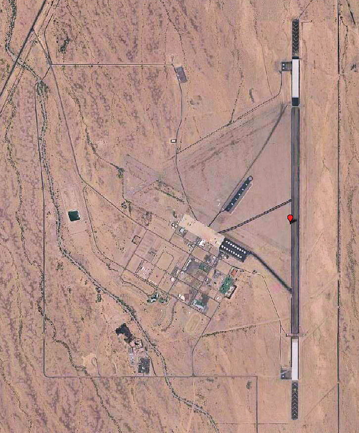
- Elevation
- 735 ft
- General Quality Overall rating out of 100
Highlights
What stands out in Gila Bend
Explore
More places like Gila Bend
About Gila Bend
Located about an hour southwest of Phoenix, Gila Bend is a quiet desert town of around 1,900 people. It gets its name from a sharp curve in the Gila River and has welcomed travelers for generations, long before Interstate 8 and State Route 85 crossed paths here. Today, it maintains that classic roadside charm, serving as a handy pit stop for road-trippers heading toward San Diego or Mexico while offering residents a slow, peaceful pace far away from the Valley's traffic.
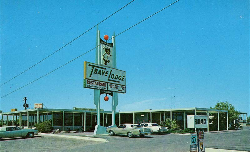
Day-to-day life here is simple and neighborly. Families gather around the local community parks, which feature splash pads, shaded playgrounds, and sports fields for weekend games. The surrounding Sonoran Desert offers wide-open skies and hiking near ancient sites like the Painted Rock Petroglyphs, while a growing solar industry provides steady local work. For anyone looking for affordable desert living, lots of sunshine, and plenty of breathing room, Gila Bend has a straightforward, easygoing appeal.
Top Rating Signals
Highest current ratings for this town.
Loading town details...