
James Island, SC
- Elevation
- 9 ft
- General Quality Overall rating out of 100
Highlights
What stands out in James Island
Explore
More places like James Island
About James Island
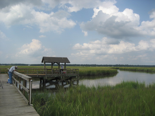
James Island sits directly southwest of downtown Charleston, tucked between the harbor, the Stono River, and the tidal marshes leading out to Folly Beach. It offers a relaxed, coastal suburban feel where grand live oaks, salt creeks, and quiet mid-century neighborhoods sit side by side with newer developments. One quirky detail newcomers quickly notice is the municipal map. Parts of the island belong to the incorporated Town of James Island, parts are within the City of Charleston, and others fall under unincorporated Charleston County. Folly Road serves as the main commercial spine for groceries, local dining, and beach traffic, while scenic routes like Riverland Drive and Harbor View Road wind through residential areas and connect neighbors to schools and community boat ramps.

Day-to-day living revolves around the outdoors, water access, and a strong neighborhood spirit. On weekends, locals gather at Town Hall for First Friday markets filled with food trucks, artisans, and live music. Pocket parks are scattered throughout different subdivisions, but the real centerpiece is the 643-acre James Island County Park. It features miles of paved trails, a massive dog park, a climbing wall, campgrounds, and tidal creek boat rentals, plus the famous Holiday Festival of Lights in the winter. Having Folly Beach just ten minutes south means surf sessions and sunset walks become part of regular life, while downtown Charleston is an easy drive across the connector for work, dining, and healthcare.

Beneath the quiet neighborhoods lies deep Lowcountry history. Riverland Drive traces a portion of the colonial King's Highway, shaded by a canopy of centuries-old live oaks that feel worlds away from modern traffic. Early agricultural wealth came from indigo and prized Sea Island cotton, built on the forced labor and agricultural knowledge of enslaved Africans. After emancipation, Black landowners and Gullah Geechee families established enduring communities, running truck farms, dairies, and fisheries that sustained the island for generations. Today, you can explore this heritage at McLeod Plantation Historic Site, visit Civil War earthworks at Secessionville, or spend an afternoon at Pinckney Park, named in honor of Union soldier and local landowner Simeon Pinckney.

If you are shopping for a home here, geography and local government lines require close attention. Because water defines the landscape, more than half the island sits in designated flood zones. Always ask for an elevation certificate, check the drainage history of the street, and budget carefully for flood insurance. Infrastructure also varies from block to block, so confirm whether a property connects to public sewer or uses a septic tank, especially if you plan to build an addition or install a pool. Finally, verify which municipality oversees the parcel before pulling permits or estimating property taxes, since school zones, trash pickup, and emergency services follow specific boundaries rather than a single island-wide system.
Top Rating Signals
Highest current ratings for this town.
Loading town details...