
Lawndale, CA
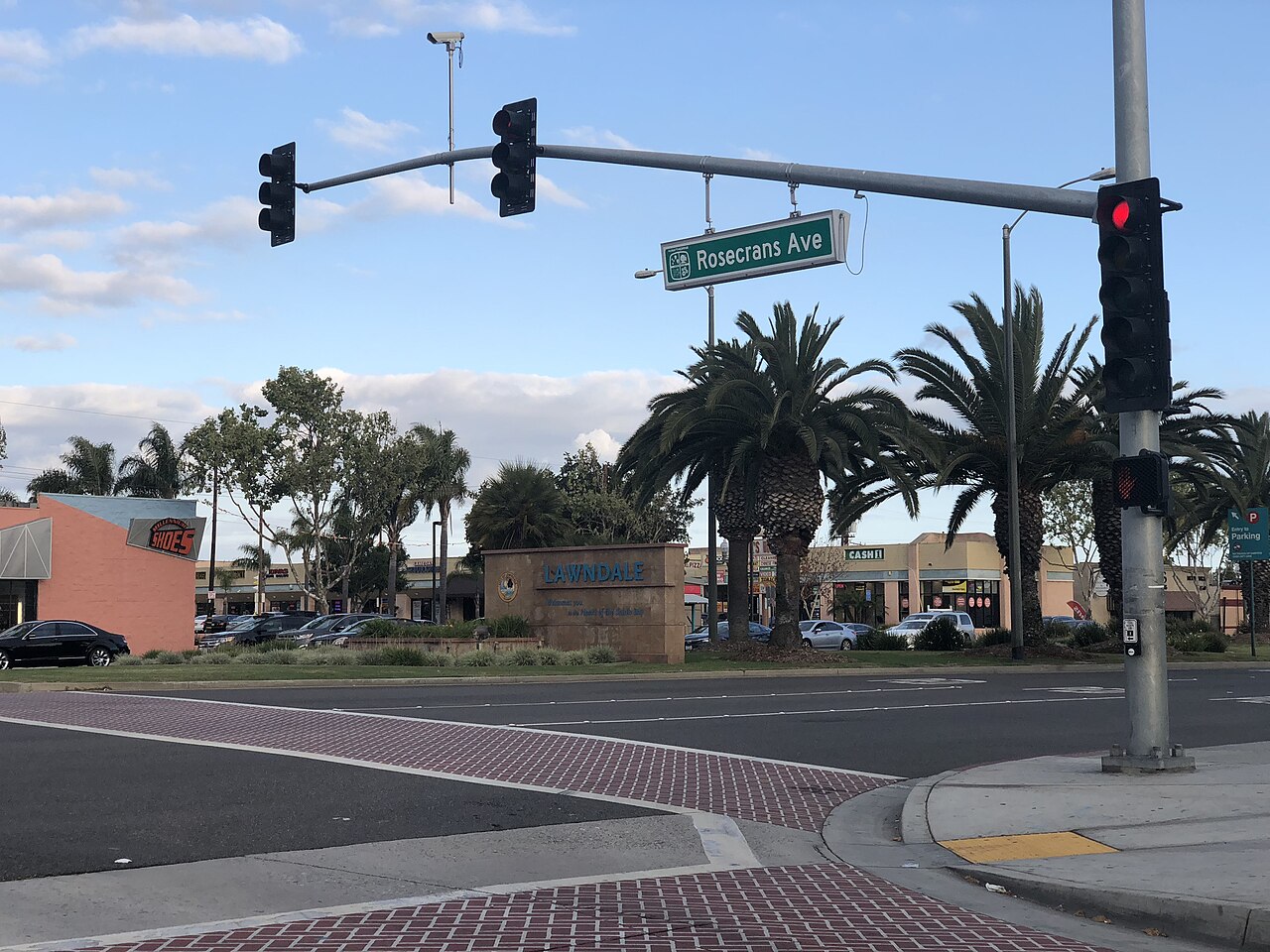
- Elevation
- 59 ft
- General Quality Overall rating out of 100
Highlights
What stands out in Lawndale
Explore
More places like Lawndale
About Lawndale
Lawndale packs a surprising amount of community energy into its compact two square miles. At the center of town along Burin Avenue, you will find the main civic hub grouping City Hall, the modern Lawndale Library, and the Harold E. Hofmann Community Center in one convenient spot. The community center stays busy year-round with youth sports, senior activities, and fitness classes, while the library offers quiet study spaces and family reading programs. Throughout the year, locals gather for neighborhood events like the annual Lawndale Blues Festival in September, seasonal cultural celebrations, and community park days that give this South Bay pocket a genuine small-town feel.

Historically an agricultural settlement that grew into a classic postwar suburb, Lawndale today offers a grounded residential setting right in the heart of the South Bay. The streets feature a mix of mid-century single-family ranch homes, updated duplexes, and apartment communities, often at price points more accessible than neighboring beach towns like Manhattan Beach and Redondo Beach. Because the city is so compact, quiet residential side streets sit just moments away from everyday conveniences. Hawthorne Boulevard cuts straight through the middle of town as the primary commercial thoroughfare, lined with local shops, markets, and services.

Food lovers will appreciate the city's lively, unpretentious dining scene. The major commercial corridors along Hawthorne, Artesia, and Manhattan Beach boulevards are filled with fantastic family-owned spots serving authentic Mexican street food, steaming bowls of Vietnamese pho, Filipino bakeries, and casual neighborhood hangouts including a local craft brewery. Running errands is straightforward with supermarkets and shopping plazas scattered across town. To get around locally without driving, residents can hop on the Lawndale Beat, a convenient city shuttle service that loops through residential neighborhoods, local parks, schools, and the South Bay Galleria.

Commuters benefit from Lawndale's central location and straightforward freeway access. Interstate 405 runs right through the city, making trips north toward LAX and West LA or south toward Torrance and Long Beach relatively direct. Beach days are equally simple, with the Pacific shoreline just three miles to the west. For public transit, commuters can easily connect to the nearby Metro rail station at Marine Avenue just across the city border, which connects riders into the broader regional transit network. Between its close beach proximity, diverse local food scene, and central South Bay position, Lawndale offers a practical and welcoming place to call home.
Top Rating Signals
Highest current ratings for this town.
Loading town details...