
Lennox, CA

- Elevation
- 73 ft
- General Quality Overall rating out of 100
Highlights
What stands out in Lennox
Explore
More places like Lennox
About Lennox
Lennox is a compact, bustling community tucked neatly into Los Angeles County's South Bay, right between Inglewood and Hawthorne. Covering barely one square mile, it has the feel of a dense, self-contained neighborhood framed by the 405 and 105 freeways. While nearby cities expanded over the years through annexation, Lennox stayed an unincorporated county pocket. Today, thoroughfares like Hawthorne, Inglewood, and Lennox boulevards serve as the neighborhood's main commercial arteries, lined with strip malls, auto shops, and plenty of mom-and-pop businesses.

Most people in Lennox rent, though you will find classic mid-century bungalows and multi-family duplexes along the residential side streets. Because Lennox sits right under the approach path to LAX, airplane noise is an everyday reality here. Over the years, many houses and apartment buildings have participated in airport-funded soundproofing programs that add double-paned windows, thick doors, and updated ventilation. If you are touring rentals or looking to buy, check closely to see if a home has been retrofitted. Keep in mind that since Lennox is unincorporated, property records, code enforcement, and municipal services are handled by Los Angeles County rather than a local city hall.

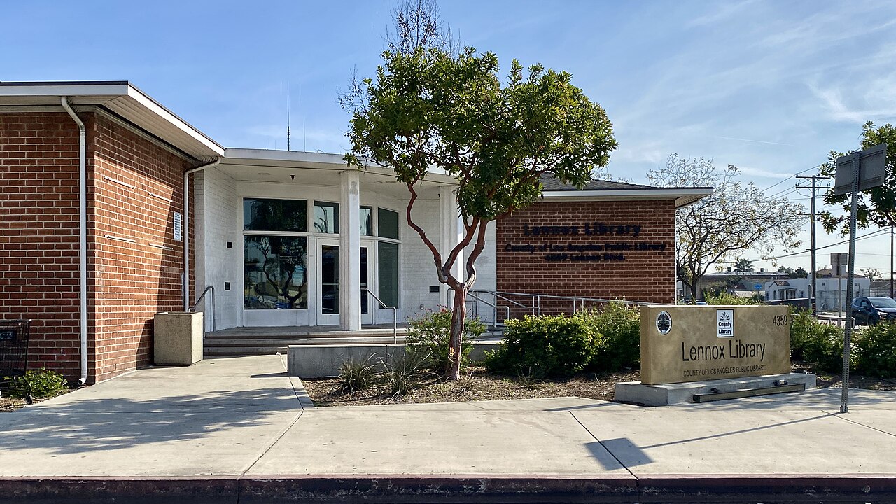
The neighborhood has a vibrant, predominantly Latino culture with deep family roots, visible in the busy panaderias, street taco stands, and Spanish signage along the avenues. Lennox Park serves as the center of local activity, offering a public swimming pool, athletic fields, computer labs, and popular annual events like the Cinco de Mayo and Hispanic Heritage festivals. Right down the road, the county library provides a reliable spot for after-school homework help, bilingual reading programs, and local community resources.
Getting around is convenient thanks to close freeway access and public transit. The Hawthorne/Lennox Metro C Line station sits at the southern edge of town, giving commuters a direct rail link to airport shuttles, Norwalk, and connections toward downtown. You are also minutes from major entertainment spots like SoFi Stadium, the Intuit Dome, and the Kia Forum in neighboring Inglewood. If you are considering a move here, spend an afternoon driving the streets during peak commute hours and flight windows to get an honest feel for parking availability, traffic, and overhead jet noise.
Top Rating Signals
Highest current ratings for this town.
Loading town details...