
Los Banos, CA

- Elevation
- 117 ft
- General Quality Overall rating out of 100
Highlights
What stands out in Los Banos
Explore
More places like Los Banos
About Los Banos
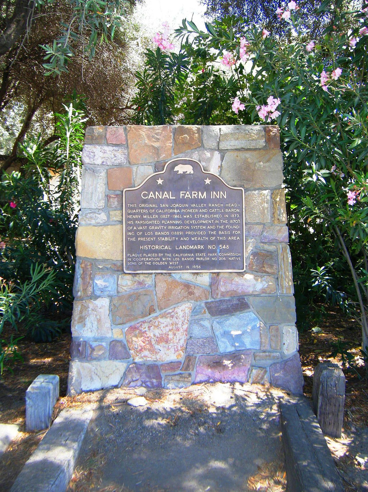
Los Banos sits on the western edge of the Central Valley, right along Highway 152 and just minutes from Interstate 5. The town got its name from natural spring pools discovered along a local creek, translating from Spanish as "the baths." In the late 1800s, cattle baron Henry Miller built an extensive canal network that transformed the dry plains into rich farmland, laying the foundation for the community. Today, that convenient highway crossroads makes the city an appealing option for commuters looking for a quieter, more affordable home base within reach of the Bay Area and Silicon Valley.
Just outside town, protected wetlands and open skies offer an impressive natural playground. The Los Banos Wildlife Area and the expansive San Luis National Wildlife Refuge sit right along the Pacific Flyway, welcoming hundreds of bird species during seasonal migrations. Residents have easy access to quiet walking trails, auto-tour routes, fishing spots, and viewings of California's native tule elk herd. Having these quiet reserves in your backyard gives the area a distinct rural charm that is hard to find in larger cities.

Daily life in Los Banos blends agricultural roots with modern suburban conveniences. Most retail centers, grocery stores, and casual dining spots run along Pacheco Boulevard, making weekly shopping and errands simple. For education, Merced College operates a full-service satellite campus right in town, allowing students to complete career training and university transfer coursework close to home. The surrounding neighborhoods offer a relaxed pace, plenty of parks, and room to grow against a backdrop of open farmland.

The community comes together around historic 6th Street downtown and at a packed roster of annual events. The Los Banos Fair, originally founded as a May Day celebration more than a century ago, remains a highlight of the year with concerts, exhibits, and carnival rides. Other popular traditions like the Tomato Festival and seasonal downtown street fairs bring neighbors together for good food and live entertainment. With colorful historic murals and local diners, Los Banos offers a welcoming, small-town atmosphere where people quickly get to know one another.
Top Rating Signals
Highest current ratings for this town.
Loading town details...