
Marmaduke, AR
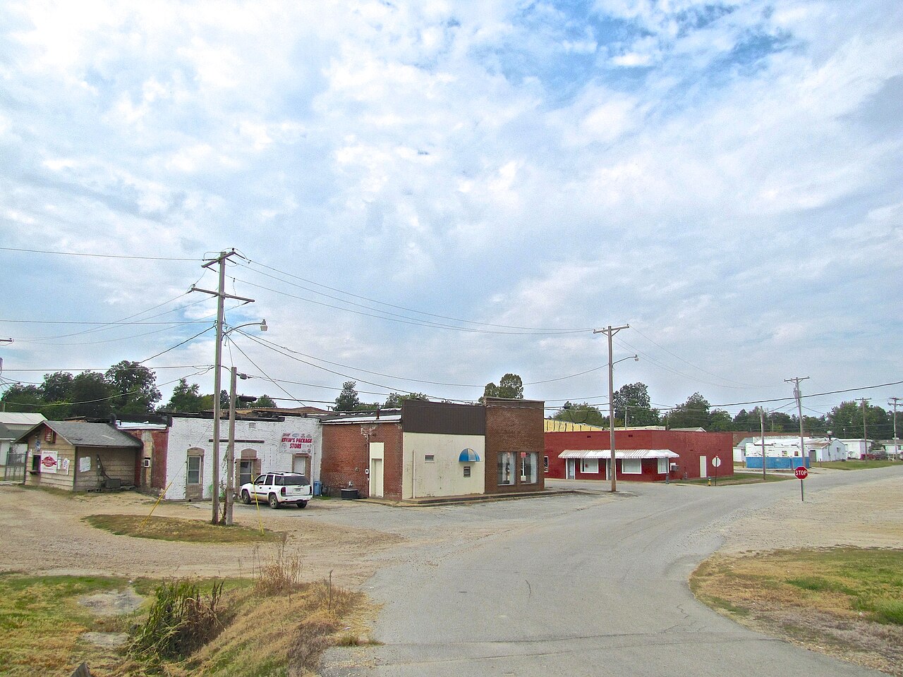
- Elevation
- 273 ft
- General Quality Overall rating out of 100
Highlights
What stands out in Marmaduke
Explore
More places like Marmaduke
About Marmaduke
Marmaduke is a quiet agricultural town in northeastern Arkansas, sitting in Greene County just south of the Missouri border. The community took shape in the 1880s with the arrival of the railroad and took its name from John Sappington Marmaduke, a Civil War general who later served as governor of Missouri. Today, it remains a peaceful rural pocket surrounded by flat farmland and the nearby St. Francis River.

Daily life here centers on a close-knit community with convenient highway access. U.S. 49 runs right through town, making it an easy ten-mile drive southwest to Paragould for shopping, restaurants, and medical care, or sixteen miles northeast to Piggott. The local Marmaduke School District educates kindergarten through high school students right in town, serving as a central gathering point for athletics and local events. For anyone looking for affordable small-town living, Marmaduke offers a relaxed country setting within easy reach of regional hubs.
Top Rating Signals
Highest current ratings for this town.
Loading town details...