
Palmdale, CA

- Elevation
- 2,658 ft
- General Quality Overall rating out of 100
Highlights
What stands out in Palmdale
Explore
More places like Palmdale
About Palmdale
Palmdale spreads out across more than a hundred square miles of the high desert, which means life here is definitely car-centric. The city is laid out in distinct pockets across the Antelope Valley. You will find older historic streets and civic buildings along Sierra Highway, major shopping centers and chain restaurants out on Rancho Vista Boulevard to the west, and quiet residential subdivisions stretching across the eastern side of town. While most daily errands require driving down wide boulevards, commuters heading south into Los Angeles often rely on the Palmdale Transportation Center. The local Metrolink station connects straight into downtown LA, giving drivers a welcome alternative to the busy Antelope Valley Freeway.

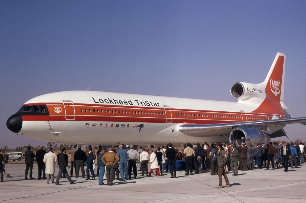
Aerospace serves as the economic backbone of the community, anchored by the massive Air Force Plant 42 facility located near the center of the valley. Major defense and technology contractors like Lockheed Martin, Northrop Grumman, Boeing, and NASA all operate major sites here, earning the region its reputation as the Aerospace Valley. For newcomers, this industry provides steady engineering and manufacturing employment along with specialized research programs. It also adds a unique backdrop to everyday life, from high-security aviation hangars along Avenue P to the occasional sound of experimental aircraft and research flights cruising through the sunny desert skies.
The area started out with much humbler roots as a nineteenth-century farming settlement, originally named Palmenthal by German colonists who famously mistook local Joshua trees for palms. Over the decades, apple orchards and alfalfa fields gradually gave way to suburban developments and defense facilities, leading up to Palmdale's official incorporation in 1962. Without a single traditional downtown combining dining, shopping, and nightlife, Palmdale grew as a series of distinct master-planned neighborhoods. Today, each section of town features its own pocket parks, neighborhood schools, and convenient retail centers.

Community events and entertainment are spread out across these different districts. Theatergoers can catch live plays and musical showcases at the Palmdale Playhouse near the civic center, while the outdoor Palmdale Amphitheater hosts summer concerts, comedy shows, and movie nights under the desert stars. Over on the east side, the expanded Sam Yellen Park serves as a vibrant gathering spot, hosting the popular Friday Night Market with food trucks, artisan vendors, and live performances throughout the warmer months. Finding things to do usually means exploring different corners of the city depending on what is happening that weekend.
Top Rating Signals
Highest current ratings for this town.
Loading town details...