
Paradise Valley, AZ

- Elevation
- 1,343 ft
- General Quality Overall rating out of 100
Highlights
What stands out in Paradise Valley
Explore
More places like Paradise Valley
About Paradise Valley
Paradise Valley was intentionally designed to stay quiet, open, and strictly residential. When Phoenix and Scottsdale began booming in the mid-twentieth century, locals incorporated the town in 1961 with a clear goal: preserve the Sonoran Desert landscape by keeping residential lots to a minimum of one acre and strictly limiting commercial development. Decades later, that vision still defines the community. Paradise Valley has no traditional downtown grid, commercial strip malls, or high-rise office buildings. Winding residential lanes weave between custom estates, creating a remarkably tranquil enclave right in the center of the Phoenix metro area.
Because neighborhood zoning keeps everyday storefronts out, local dining and social gatherings center around the town's historic luxury resorts and private clubs. Celebrated destinations like the JW Marriott Camelback Inn, Sanctuary Camelback Mountain, and the Omni Scottsdale Resort at Montelucia provide exceptional patio dining, full-service spas, and scenic gathering spots for residents. Alongside institutions like Phoenix Country Day School and the Paradise Valley Country Club, these sprawling properties serve as the town's primary social hubs and largest employers. When residents want grocery shopping, boutique retail, or nightlife, downtown Scottsdale and the Biltmore corridor in Phoenix are only a short drive away.

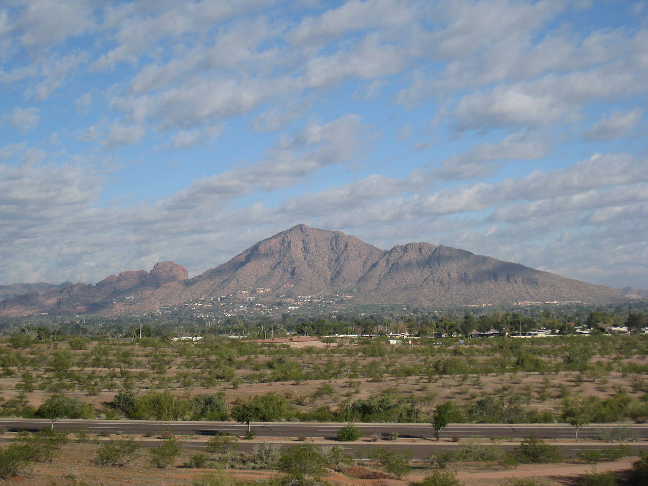
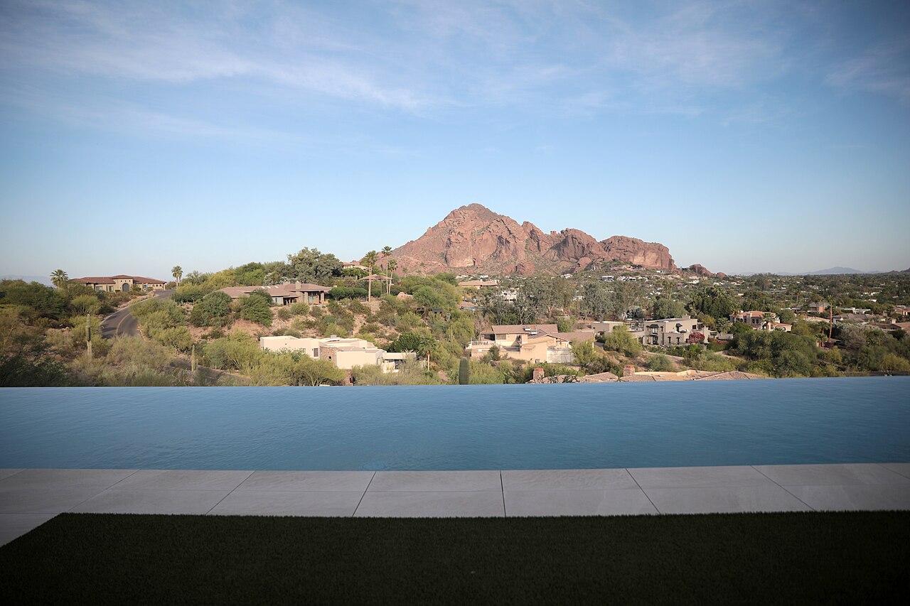
Dramatic desert topography shapes everyday life, framed by Mummy Mountain in the center of town and the iconic silhouette of Camelback Mountain to the south. For newcomers reviewing local maps, it helps to know that the scenic preserve across Mummy Mountain is dedicated solely to conservation and view protection, with no public hiking trails on the summit. Avid hikers still have plenty of trail access, as popular trailheads like Echo Canyon on Camelback Mountain and the Phoenix Mountains Preserve sit directly along the town border. Most residents enjoy the mountains as a stunning backdrop for peaceful desert living and vibrant evening sunsets.
Tucked into the quiet neighborhoods are a few distinctive cultural landmarks, most notably Cosanti. Established by Italian-American architect Paolo Soleri in the late 1950s, this historic studio features experimental earth-formed concrete structures where artisans still handcraft Soleri's famous bronze and ceramic windbells. A short distance away, the modest Town Hall campus hosts municipal services and community gatherings like the annual vintage car show. Between the secluded hillside estates, the faint chime of bells at Cosanti, and effortless access to neighboring city amenities, Paradise Valley offers an understated desert lifestyle built on privacy, space, and natural beauty.
Top Rating Signals
Highest current ratings for this town.
Loading town details...