
Redwood City, CA

- Elevation
- 20 ft
- General Quality Overall rating out of 100
Highlights
What stands out in Redwood City
Explore
More places like Redwood City
About Redwood City
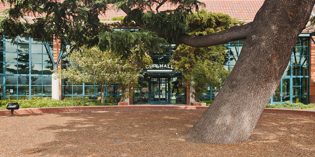
Redwood City spans a diverse strip of the San Francisco Peninsula, stretching from the bay all the way up into the western hills. Downtown sits right in the middle, offering a walkable cluster of independent restaurants, coffee spots, the public library, and the Caltrain station. To the west, quiet, tree-lined residential neighborhoods climb toward the scenic foothills. Out east past Highway 101, you will find waterfront trails, business parks, and Redwood Shores, a master-planned community built along quiet lagoons. As the historic county seat of San Mateo County, the city blends its civic roots with an easygoing Peninsula lifestyle.
Getting around from here is convenient. Caltrain provides a fast ride north to San Francisco or south to Silicon Valley tech hubs, with easy access to Highway 101 and Interstate 280. Major employers range from county offices and legal firms downtown to biotech companies and software campuses out toward the water. If you are exploring neighborhoods, keep in mind that Highway 101 creates a real geographic divide. Redwood Shores offers a quiet, suburban feel surrounded by water, while the central and western neighborhoods keep you close to the downtown core and local schools. Your daily routine will feel noticeably different depending on which side of the freeway you choose to live.

The variety of outdoor spots is a huge draw for locals. Along the bayfront, Bair Island features flat walking paths through open wetlands where you can watch shorebirds and enjoy cool breezes near the marina. Across town on the western ridgeline, Edgewood Park and Natural Preserve delivers great hiking trails through oak woodlands and famous spring wildflower blooms. Living here also comes with great weather. Redwood City famously adopted the slogan "Climate Best by Government Test" because its unique pocket between the hills and the bay enjoys plenty of sunshine and comfortable temperatures all year.

Courthouse Square anchors the community scene, giving downtown a welcoming focal point along the pedestrian-friendly stretch of Broadway. During the summer, the plaza hosts popular outdoor movie nights, weekend music series, food truck gatherings, and one of the biggest Fourth of July parades in the Bay Area. The surrounding blocks feature a great selection of casual eateries, bakeries, craft breweries, and the historic Fox Theatre for live shows. Redwood City delivers a grounded, energetic vibe with quick transit, distinct neighborhood choices, and plenty of reasons to get outside.
Top Rating Signals
Highest current ratings for this town.
Loading town details...