
Robbins, NC
- Elevation
- 433 ft
- General Quality Overall rating out of 100
Highlights
What stands out in Robbins
Explore
More places like Robbins
About Robbins
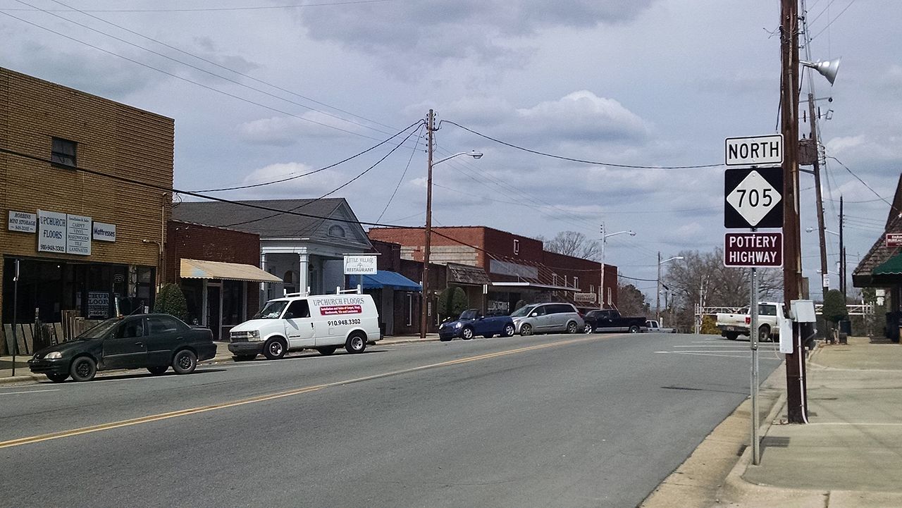
Robbins is a quiet, friendly town tucked into northern Moore County, shaped by a long tradition of craft and industry along Bear Creek. Originally settled in the late 1700s, the community grew around early gunsmithing and later flourished as a bustling textile hub throughout the mid-twentieth century. Today, that hardworking heritage remains visible in the vintage brick storefronts and classic residential streets that define the town.

Life in Robbins offers a relaxed pace and plenty of countryside to explore. The town sits directly on Highway 705, the scenic Pottery Highway, connecting locals to the famous artisan studios and galleries of Seagrove. With Bear Creek and the Deep River nearby for weekend paddling, along with dark skies and quiet acreage, it is an appealing option for anyone seeking affordable rural living with easy access to North Carolina craft culture.
Top Rating Signals
Highest current ratings for this town.
Loading town details...