
Shelby, IA
- Elevation
- 1,308 ft
- General Quality Overall rating out of 100
Highlights
What stands out in Shelby
Explore
More places like Shelby
About Shelby
Founded as a railroad stop in the 1870s, Shelby offers quiet small-town living in the rolling farmland of southwest Iowa. While the old train tracks have long since become a scenic walking trail crossing a historic stone arch, getting around today is quick and convenient. The town sits right off Interstate 80, giving residents a straightforward 35-minute commute into Council Bluffs and the greater Omaha area. It provides a relaxed country setting with effortless access to city jobs, healthcare, and weekend entertainment.

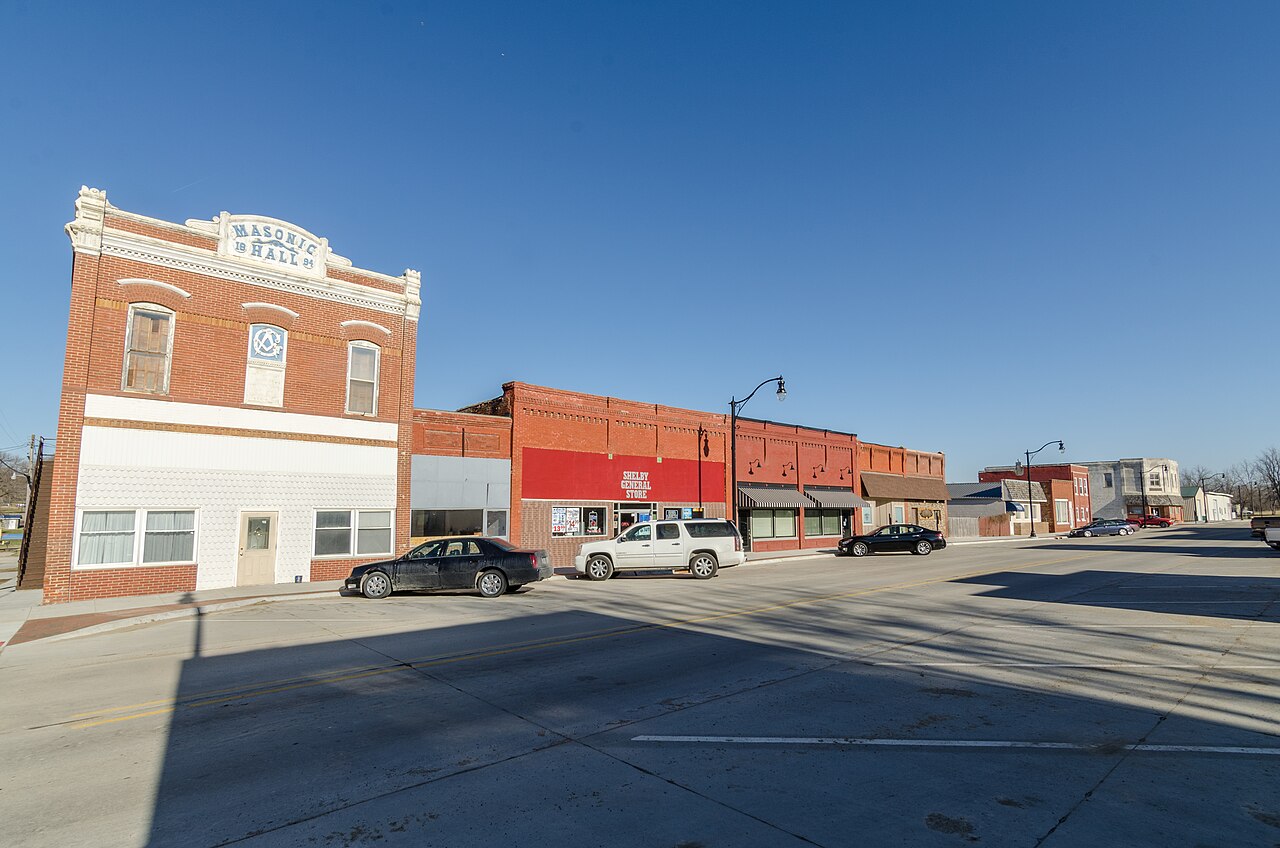
Local character is everywhere you look, from the prairie grass park near the highway to the dozens of birdhouses that make Shelby the official Purple Martin Capital of Iowa. Families are served by the regional AHSTW school district, and nearby spots like the historic Carstens Farmstead host popular seasonal events that bring the community together. With friendly local businesses along Main Street and wide open spaces all around, Shelby is an inviting home base for anyone looking for classic Midwestern charm.
Top Rating Signals
Highest current ratings for this town.
Loading town details...