
Stanford, IN
- Elevation
- 763 ft
- General Quality Overall rating out of 100
Highlights
What stands out in Stanford
Explore
More places like Stanford
About Stanford
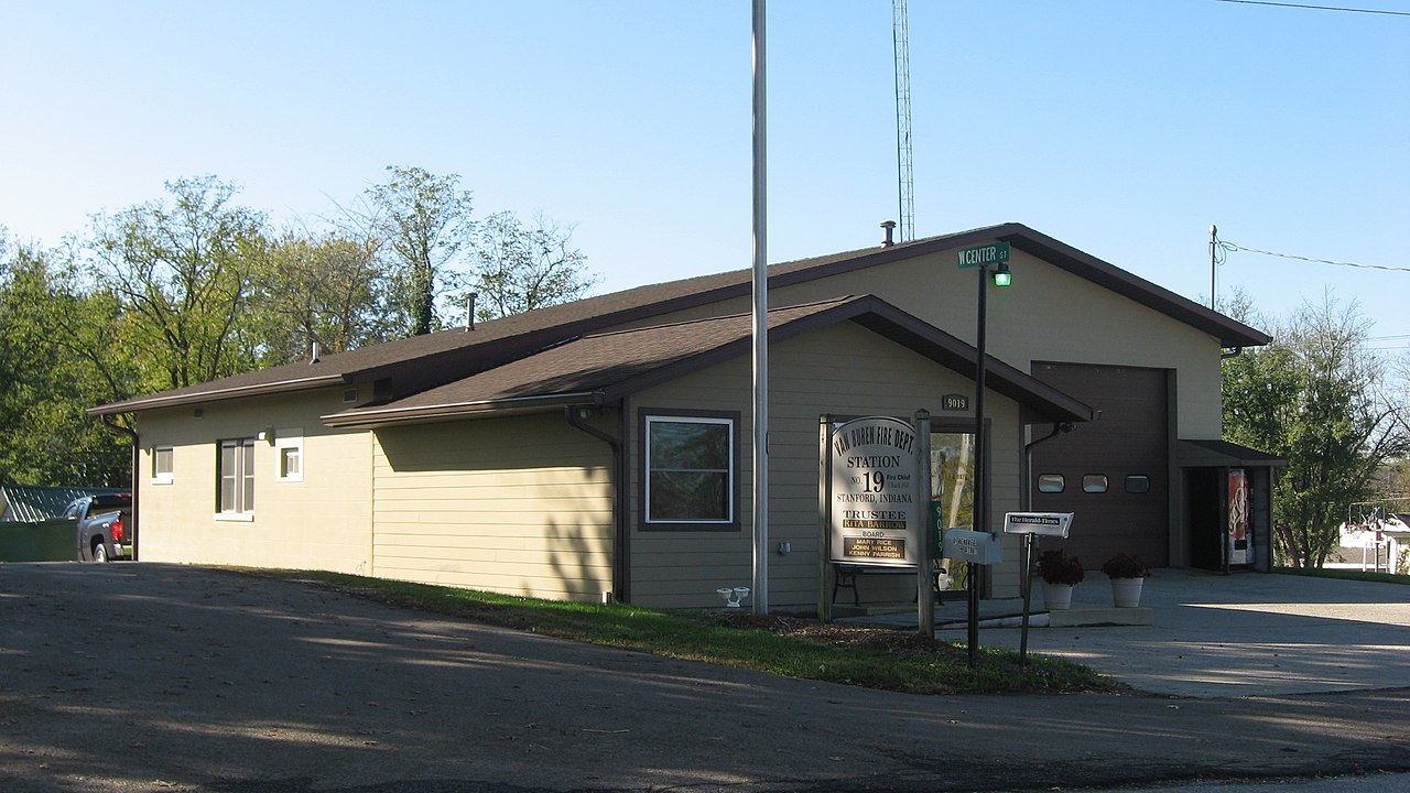
Located in western Monroe County, Stanford offers a peaceful rural setting surrounded by the rolling landscapes of southern Indiana. The community dates back to the 1830s, and it still retains the relaxed pace of a traditional countryside settlement. Farm lanes, wooded hillsides, and the waters of Indian Creek shape the area, making it an appealing spot for anyone looking for space, quiet surroundings, and scenic views.
Everyday convenience is a major draw for people living here, thanks to Indiana State Road 45 running straight through town. A quick nine-mile drive northeast takes you directly into Bloomington for work, shopping, dining, and Indiana University events. Living in Stanford gives you the ease of a simple commute alongside the quiet charm of country life.
Top Rating Signals
Highest current ratings for this town.
Loading town details...