
Stanton, CA
- Elevation
- 66 ft
- General Quality Overall rating out of 100
Highlights
What stands out in Stanton
Explore
More places like Stanton
About Stanton
Stanton has one of the more colorful origin stories in Orange County. Back in 1911, local ranchers banded together to incorporate as a city specifically to block neighboring Anaheim from building a regional sewage farm on their land. They named the new town after Philip Stanton, the state assemblyman who helped champion their cause. The city actually voted to unincorporate in the 1920s so the state could fund major road construction through the area, then officially re-incorporated for good in 1956. Long before modern suburban neighborhoods arrived, Pacific Electric red cars rumbled through the area, bringing prospective home buyers out from Los Angeles and setting the stage for the community.

Covering just over three square miles with around 38,000 residents, Stanton is a compact, centrally located pocket of north Orange County. Beach Boulevard and Katella Avenue serve as the main corridors for daily errands and commuting. Beach Boulevard links directly to Highway 91, Interstate 5, and the 405, making it an easy gateway whether you are heading north toward Los Angeles or south to the coast in Huntington Beach. Commercial activity lines these main avenues, where shopping centers, apartment communities, and a wide variety of local eateries give way to quiet residential neighborhoods tucked just behind them.

When residents want to get outdoors, Stanton Central Park on Western Avenue is the primary hub. Spread across twelve acres, it features tennis courts, sports fields, an exercise loop, a skate park, and a splash pad that fills up quickly on warm summer afternoons. Because land is at a premium in such a built-out area, the park makes great use of its space, offering illuminated fields for evening sports leagues and shaded picnic shelters for weekend gatherings. While a few smaller pocket parks are scattered across town, Central Park serves as the city's main outdoor gathering spot.

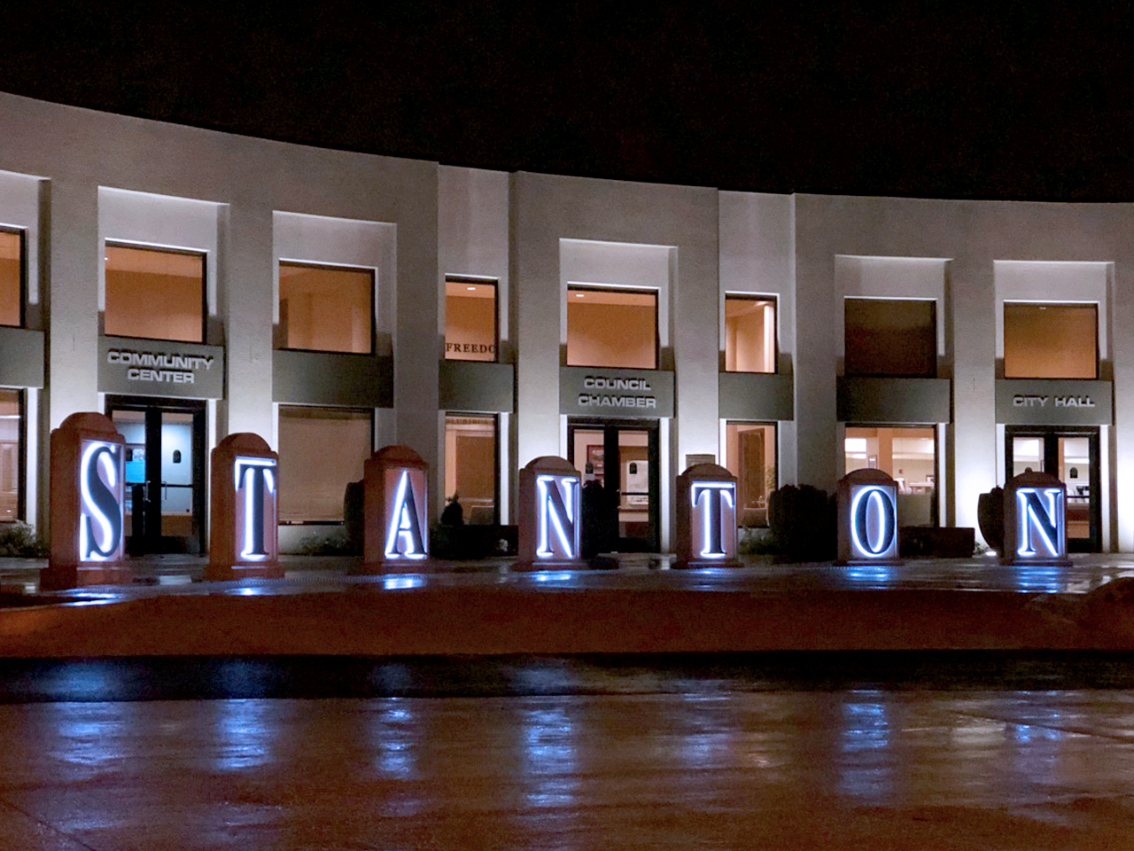
Local community resources are conveniently clustered along Katella Avenue, where City Hall and the Stanton Library share a single campus. The library is a great resource for newcomers, stocking collections in Spanish, Vietnamese, and Arabic, along with a Library of Things where cardholders can borrow items like musical instruments, baking pans, and tools. Down on Santa Paula Street, the Stanton Family Resource Center provides hands-on assistance, including parenting classes, career workshops, food distributions, and on-site childcare. In a city this size, you are never more than a few minutes away from helpful services, a good meal, or a neighborhood park.
Top Rating Signals
Highest current ratings for this town.
Loading town details...