
West Hartford, CT
- Elevation
- 129 ft
- General Quality Overall rating out of 100
Highlights
What stands out in West Hartford
Explore
More places like West Hartford
About West Hartford
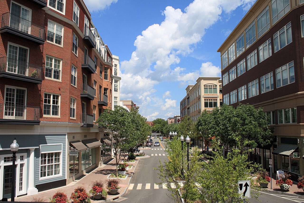
West Hartford sits right against the capital city and rolls west toward the forested hills of Talcott Mountain. The heart of town is West Hartford Center and the adjacent Blue Back Square, a lively, walkable hub packed with local boutiques, outdoor dining, coffee shops, and apartments. It is the kind of downtown where people grab dinner on a Friday night, browse a bookstore, or run everyday errands on foot. Beyond the Center, each pocket of town has its own personality. Bishops Corner covers everyday shopping to the north, Park Road offers a diverse mix of classic diners and international eateries to the south, and Elmwood blends neighborhood bakeries with local services closer to the Hartford line.

Because these neighborhoods grew around old trolley lines and rail stops, the town offers a nice variety of living styles. You will find tree-lined streets with classic colonials and Victorians near the Center, quieter suburban cul-de-sacs to the north and west, and convenient condos closer to the shops. Over along New Park Avenue, former industrial spaces have turned into a trendy corridor of craft breweries, design studios, bakeries, and food trucks. Having several distinct commercial pockets means you rarely have to drive more than a few minutes for groceries or a good meal. As you head further west, the suburban streets thin out into peaceful woodlands and the open slopes of the mountain.

For outdoor lovers, West Hartford has incredible access to green space. The MDC Reservoirs cover thousands of acres of protected watershed with paved loops and dirt trails that stay busy with runners, cyclists, and dog walkers year-round. Families also spend a lot of time at Westmoor Park, a working demonstration farm and education center where kids can visit farm animals, explore woodland paths, and learn about gardening. You get the benefits of fresh air and quiet trails while still being only five minutes from the middle of town. The area also hosts deeply rooted community institutions, including the historic American School for the Deaf on North Main Street.

Higher education and history also shape the local culture. The University of Saint Joseph brings collegiate sports and arts performances to its leafy campus, while the historic birthplace of dictionary author Noah Webster offers neighborhood tours and community workshops. Top-rated public schools and strong town services are major draws for newcomers settling down here. Community spirit really shines every June during Celebrate West Hartford, an annual weekend festival on the Town Hall green featuring local food vendors, craft booths, live music, and family road races that bring the entire town together.
Top Rating Signals
Highest current ratings for this town.
Loading town details...