
Whitwell, TN
- Elevation
- 679 ft
- General Quality Overall rating out of 100
Highlights
What stands out in Whitwell
Explore
More places like Whitwell
About Whitwell
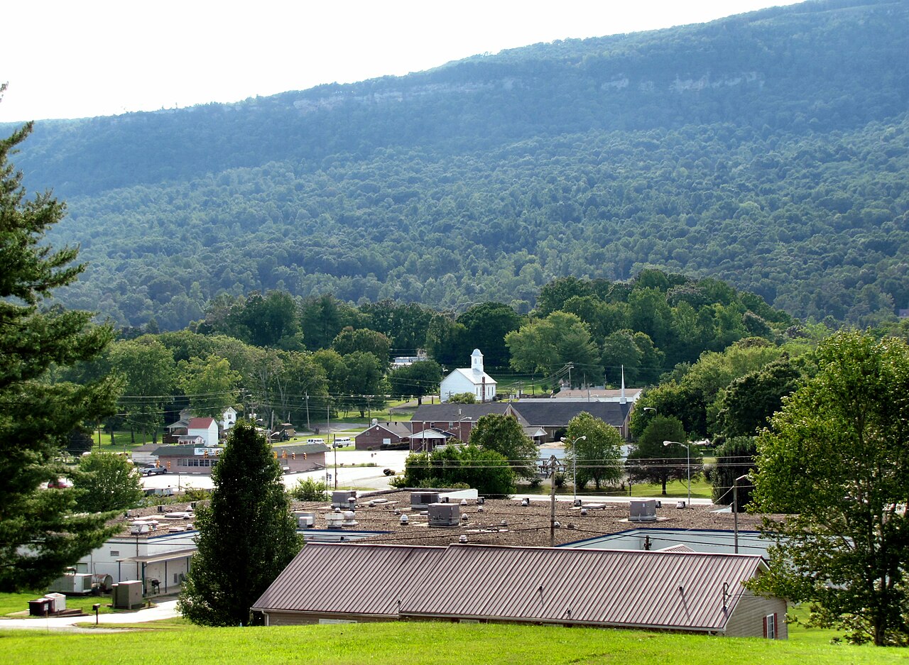
Tucked into the scenic Sequatchie Valley at the base of the Cumberland Plateau, Whitwell offers quiet small-town living with mountain views in every direction. The Sequatchie River winds along the edge of town, giving residents easy access to kayaking, fishing, and open green spaces. Originally a bustling coal town, modern Whitwell is a tight-knit community located about thirty miles northwest of Chattanooga. Local heritage is a big point of pride, seen in both the Coal Miners Museum and the internationally known Children's Holocaust Memorial at the middle school. For newcomers, it provides a peaceful rural retreat with friendly neighbors and plenty of room to breathe.
Top Rating Signals
Highest current ratings for this town.
Loading town details...