
El Segundo, CA

- Elevation
- 113 ft
- General Quality Overall rating out of 100
Highlights
What stands out in El Segundo
Explore
More places like El Segundo
About El Segundo
Sitting along the coast directly south of LAX, El Segundo offers a rare blend of small-town coastal living and major industry across about five and a half square miles. The city is laid out in distinct sections that fit neatly together. West of Pacific Coast Highway, you will find quiet residential streets, a walkable downtown, and a calm stretch of beach at the end of Grand Avenue. East of the highway, the landscape shifts into expansive business campuses and high-tech research centers. Between the two sits Smoky Hollow, a historic pocket of converted industrial buildings. It is a convenient layout that lets residents live on a peaceful neighborhood block while staying minutes from top employers and the ocean.

Daily life revolves around the walkable downtown core along Main and Richmond streets. Locals head here for morning coffee, casual dining, and community events at Library Park and Recreation Park. Richmond Street is home to the historic Old Town Music Hall, a beloved 1920s theater that screens silent films and classic movies with live music from a massive Wurlitzer pipe organ. A few blocks east, Smoky Hollow has evolved into a hub for creative studios, tech startups, craft breweries, and lunch spots. When you want some fresh air, following Grand Avenue west takes you straight down to El Segundo Beach, a relaxed spot for surfing and watching the sunset without the heavy tourist traffic of neighboring beaches.

El Segundo's history is rooted in heavy industry and aviation, which continues to shape the local economy. Standard Oil built its second California refinery here in 1911, giving the city its name, and Chevron still operates on the southern edge of town. Over the decades, the area became a powerhouse for aerospace and defense engineering. Today, the city hosts Los Angeles Air Force Base and Space Systems Command alongside major defense contractors, modern space startups, and creative media headquarters. This massive commercial footprint provides a strong tax base, which directly funds top-tier public services, exceptional city parks, and a highly rated school district that draws many families to town.
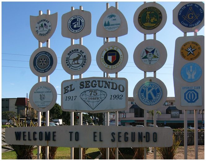
Getting around is relatively simple for the Los Angeles area. Pacific Coast Highway and the 105 freeway provide direct driving routes, while the Metro C Line serves commuters with stops at El Segundo and Mariposa stations. Despite the concentration of corporate headquarters and aerospace giants, the residential side of town retains a friendly, down-to-earth atmosphere where neighbors know each other from little league games and school events. For anyone relocating for work or searching for a safe coastal neighborhood with great schools, El Segundo delivers a balanced lifestyle that combines big-city career opportunities with a grounded, welcoming hometown feel.
Top Rating Signals
Highest current ratings for this town.
Loading town details...