
Maricopa, AZ

- Elevation
- 1,170 ft
- General Quality Overall rating out of 100
Highlights
What stands out in Maricopa
Explore
More places like Maricopa
About Maricopa
Maricopa has a knack for reinventing itself. It started as a watering hole along historic desert trail routes, shifted location to meet the railroad, and spent decades as a quiet farming community surrounded by cotton fields. Today, it has grown into one of the most popular and affordable suburbs in the greater Phoenix area. While freight trains still roll through town and agricultural roots linger across the valley, modern Maricopa is defined by its master-planned neighborhoods and relaxed pace. State Route 347, locally known as John Wayne Parkway, serves as the main spine running straight through town.
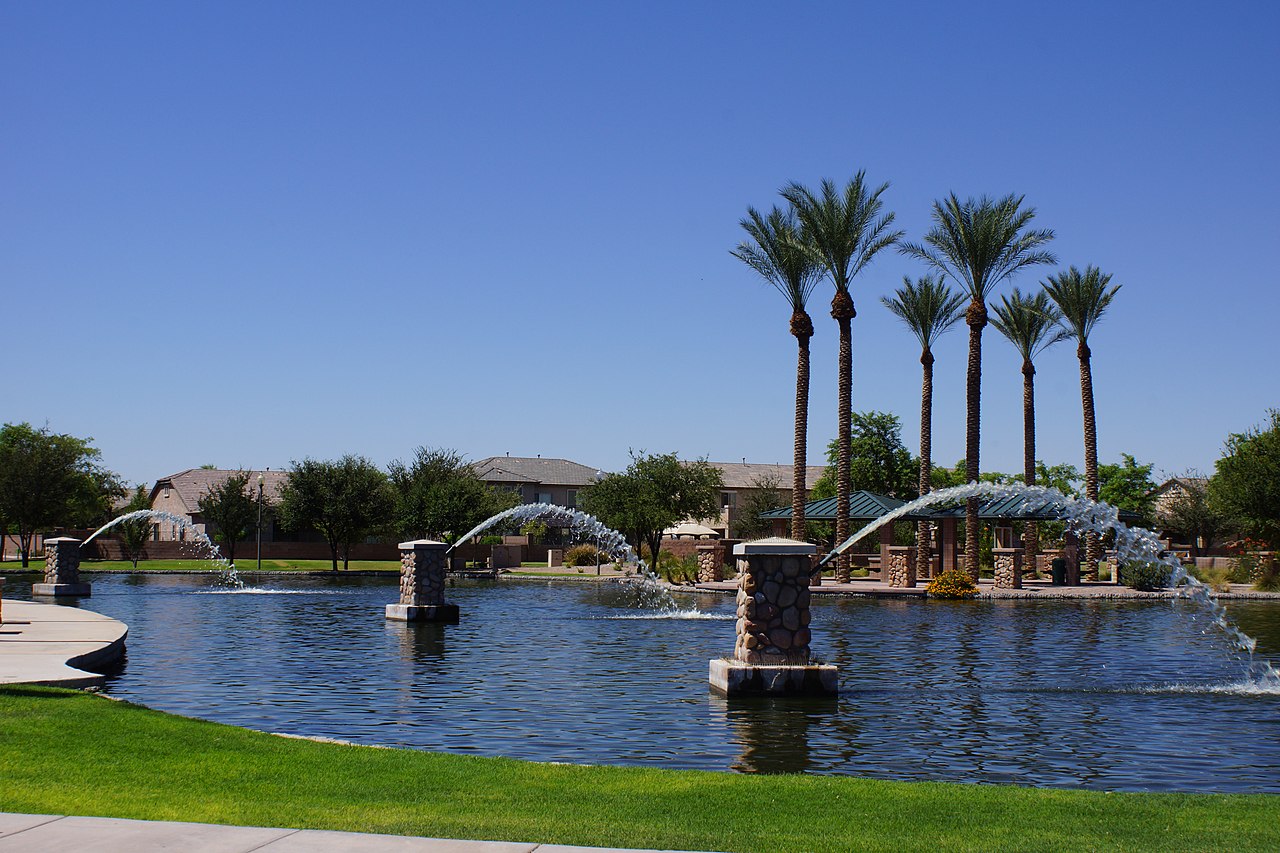
The city officially incorporated in 2003 as new residential developments began replacing farmland. Most residents live in family-oriented communities on both sides of the highway, where you will find neighborhood parks, community pools, and wide-open mountain views. Because Maricopa is bordered by the Gila River Indian Community to the north and the Ak-Chin Indian Community to the south, open desert buffers the town from surrounding sprawl. Commuters head up the 347 to reach jobs in Chandler, Tempe, and Phoenix, and a highway overpass over the railroad tracks has made that daily trip to the Valley much simpler.

Daily errands and dining center along the highway corridor, especially around Smith-Enke Road, where grocery stores, casual eateries, and local services are clustered. Local employment centers on schools, healthcare, city government, and retail, alongside agricultural research facilities and the nearby Volkswagen vehicle proving grounds. When it is time to get outside, Copper Sky Regional Park is the main hub for recreation. The nearly 100-acre complex includes a full aquatics center, lighted ball fields, an amphitheater lawn, and a stocked lake for weekend fishing.
That same park hosts the city's biggest gatherings, bringing neighbors together for Fourth of July fireworks, food truck nights, and seasonal festivals. Across town, the Maricopa Library and Cultural Center provides study rooms, community classes, and event spaces for all ages. History buffs can visit Mike Ingram Heritage Park to explore a restored vintage railcar and open-air museum exhibits right beside the active train tracks. Combining modern family amenities with a distinct small-town feel, Maricopa offers an approachable, sunny lifestyle just south of the Phoenix metro.
Top Rating Signals
Highest current ratings for this town.
Loading town details...