
The Silos, MT
- Elevation
- 3,888 ft
- General Quality Overall rating out of 100
Highlights
What stands out in The Silos
Explore
More places like The Silos
About The Silos
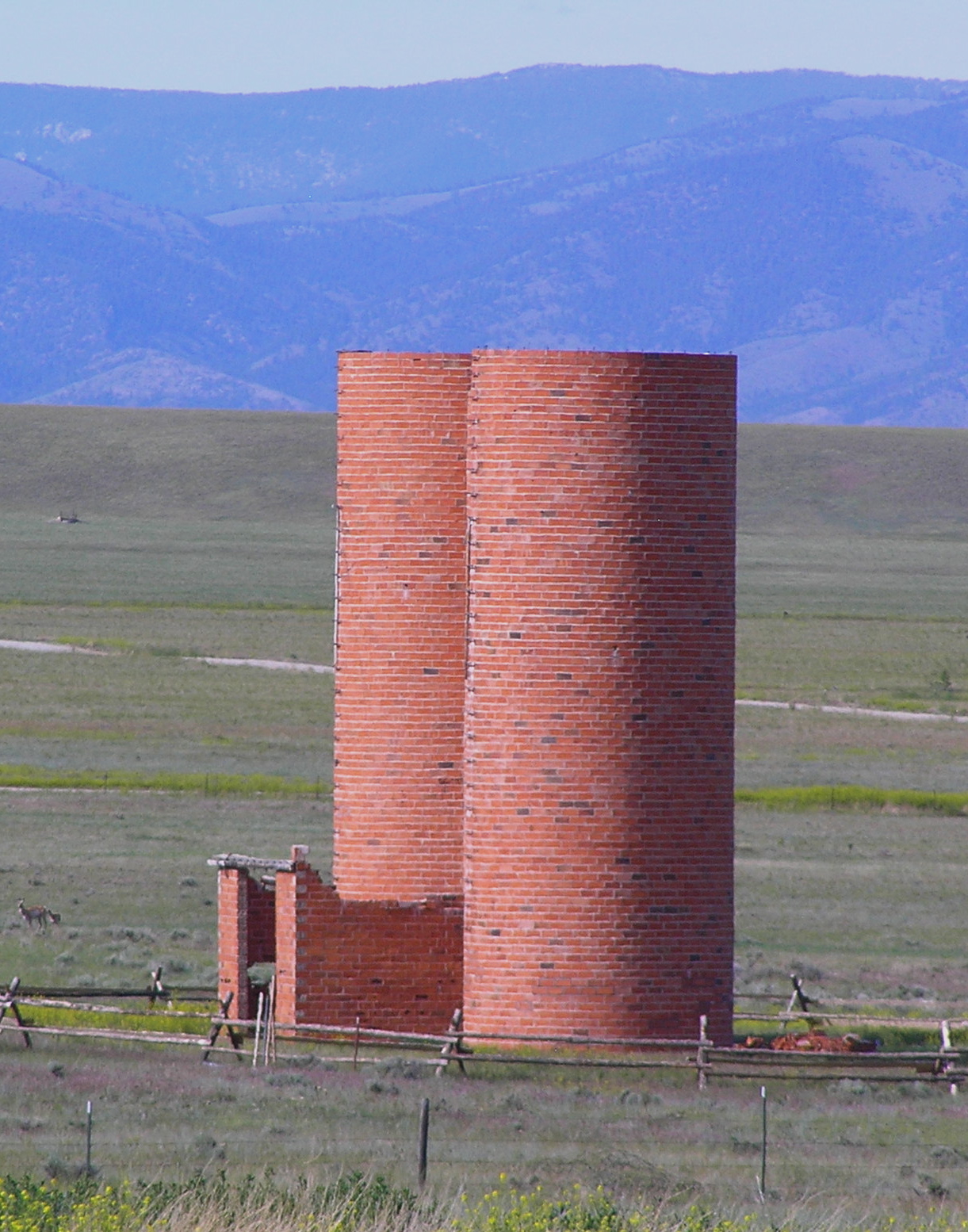
Set right along the western shore of Canyon Ferry Lake, The Silos takes its name from a pair of historic brick silos standing near the water. Built around 1920 for a local sheep ranch, the structures survived the valley's flooding when the dam went in during the 1950s, and a relaxed lakeside community eventually took shape around them. Today, the area attracts people looking for peaceful waterfront living, great year-round fishing, and wide-open mountain views. It sits along Highway 287, putting Townsend just five miles down the road and Helena about a thirty-minute drive to the northwest.
Top Rating Signals
Highest current ratings for this town.
Loading town details...